
Geological Mapping and Drilling
Geological survey refer to exploration activity, start from reconnaissance up to detailed drilling, to determine prospect area and mining deposit. Consist of reconnaissance, detailed geological mapping and drilling.
Step 1
Reconnaissance
Reconnaissance is the first stage of exploration to investigate prospected area. Usually reconaisance find a random outcrop in the representative area investigation (IUP). Reconaisance can working around 1-2 weeks, depend on the area. Result from this survey is report with summary of the area is prospected or not, and continuable to the next exploration or not..

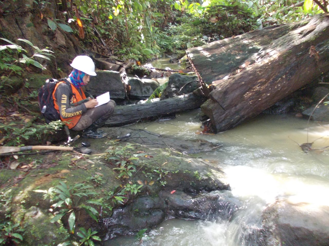
Step 2
Geological Mapping
The activity usally conducted after knowing that investigation area (IUP) is prospected. Geological mapping purpose to determine detailed geological condition especially mining condition, for making bore hole plan, resources/reserve calculation and mine plan.

Step 3
Drilling
Drilling is an activity to get sample and data to determine geological subsurface condition, especially, thickness, depth and quality. Drilling can use automatic drill machine or manual. Automatic rotated by machine and manual by man power. From drilling we can get core rock sample if using coring method.