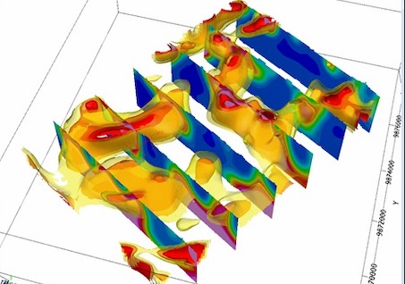
Airborne Magnetic and Radiometric Survey
Airborne Geophysical Survey is a survey in which data collection was taken by plane or helicopter. This survey was carried out very suitable for large areas and regional. The data were taken in the work we’ve ever done airborne magnetic data and radiometric is. The survey is usually to look at the potential of the existing mineral like iron ore, bauxite, nickel, gold and other minerals. However, this survey can also be performed to search for other commodities such as coal, oil and natural gas.