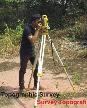
Topographic Survey
Topographic survey is activity to map an area or region. This survey mapped is a state of relief (height) of the earth’s surface, the state of the landscape such as rivers, streams, settlements. The tools used such as total station, water pass, roll mater.
The scope of work PT. PER for topographic survey are :
- Map making persil
- Installation and Measurement of Bench Mark (BM)
- DED Map
- Stake out/Re Survey of Drill Hole
- Map for civil construction