
Multicopter Borner Ground Penetrating Radar (GPR) System
In most cases, GPR surveys are hard work and can be very dangerous for field personnel due to harsh topographic environments and weather conditions.
This is where drones come into play. They are lightweight (compared to a manned airplane or a helicopter), easily transportable by car and capable of flying autonomously at low altitudes with high precision. Such an approach assures delivery of accurate survey results, is also safer for personnel and more time-efficient.

Figure 1. The GPR-drone (DJI M600Pro) integrated system.
A GPR mounted on a drone enables to see through the surface of ground, ice, rocks, freshwater, and buildings or through structures at unsafe and hazardous environments without compromising the safety of staff, providing an additional solution for more efficient surveying.
To enable full integration of the radar and drone the drone-based GPR system consists of a lightweight onboard data logger and a GPR control software for drones. The result of the integration - the radar status and its current trace is displayed on the screen (see Fig.2); Data logging is started automatically during take-off and stopped after landing.
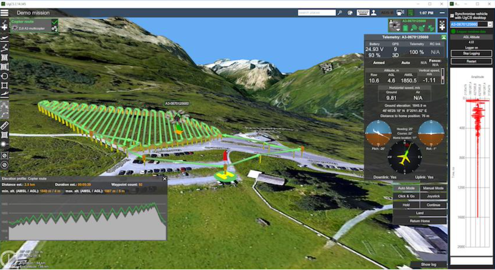
Figure 2. Ground control software displaying GPR status.